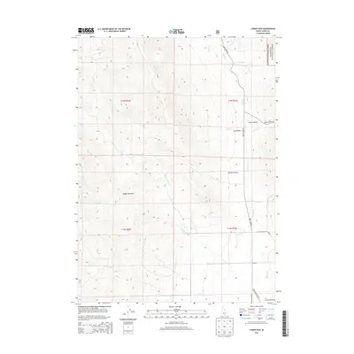
2013 Map of Lyman Pass
USGS Topo · Published 2013About this map
Lyman Pass serves as a central topographic corridor between the high ridges of Middle Mountain and the expansive drainage basins that define this corner of southern Idaho. The landscape is heavily marked by its water sources and rugged canyons, including Emery Canyon and the winding course of Birch Cr. Public lands dominate the eastern portion of the sheet, where the boundary of the Sawtooth National Forest meets the northern edge of the City of Rocks Natl Reserve. The small settlement of Moulton and the wider Junction Valley provide evidence of rural habitation, supported by a network of local routes like Birch Creek Rd and Junction Valley Rd. This map reveals how the difficult terrain shaped the movement of people and the allocation of conservation lands in the modern era.
Find a feature on this map
24 named features on this map. Tap any name to fly to it.
Don’t see what you’re looking for? This feature index may not catch every label — zoom into the map to look around manually.
Map Details
Editions of this 2013 Lyman Pass Map
This is the sole edition of this map. No revisions or reprints were ever made.
Other maps of this area

1954 · Pocatello
USGS Topo · 1:250,000

1954 · Brigham City
USGS Topo · 1:250,000

1958 · Pocatello
USGS Topo · 1:250,000

1958 · Brigham City
USGS Topo · 1:250,000

1959 · Cotton Thomas Basin
USGS Topo · 1:62,500

1959 · Yost
USGS Topo · 1:62,500

1962 · Brigham City
USGS Topo · 1:250,000

1968 · Almo
USGS Topo · 1:24,000

1968 · Cache Peak
USGS Topo · 1:24,000

1968 · Basin
USGS Topo · 1:24,000