
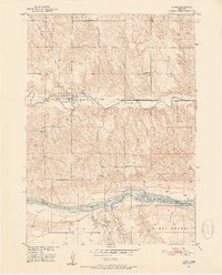
1950 Map of Lynch
USGS Topo · Published 1952About this map
The Lynch townsite sits at the heart of this mid-century Missouri River Basin development survey, where the Chicago and North Western railroad corridor parallels the winding Ponca Creek. This landscape is defined by its transition from the creek valley floor to the high, dissected plateaus of Lynch and Bush townships, eventually descending south toward the wide Niobrara River.
Find a feature on this map
29 named features on this map. Tap any name to fly to it.
Don’t see what you’re looking for? This feature index may not catch every label — zoom into the map to look around manually.
Map Details
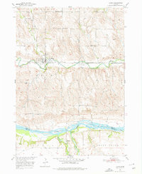
Editions of this 1950 Lynch Map
3 editions found
Other maps of this area

1950 · Dorsey NW
USGS Topo · 1:24,000

1950 · Monowi
USGS Topo · 1:24,000

1951 · Bristow
USGS Topo · 1:24,000

1952 · Monowi
USGS Topo · 1:24,000

1952 · Dorsey
USGS Topo · 1:24,000

1954 · Meek NE
USGS Topo · 1:24,000

1955 · O'Neill
USGS Topo · 1:250,000

1959 · O'Neill
USGS Topo · 1:250,000

1964 · Gross
USGS Topo · 1:24,000

1964 · Lynch NE
USGS Topo · 1:24,000