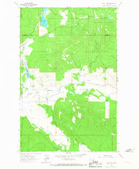
1964 Map of Lynch Lake
USGS Topo · Published 1967About this map
Kootenai National Forest blankets this section of the Montana landscape, where the Fisher River winds through the southern terrain. The area is defined by the broad Pleasant Valley, a geographic corridor that supported early local infrastructure like the Pleasant Valley Sch and a scattered network of water sources including several named Spring and Springs locations. In the northwestern corner, Island Lake and Island Creek provide a distinct contrast to the elevated forest land.
Find a feature on this map
15 named features on this map. Tap any name to fly to it.
Don’t see what you’re looking for? This feature index may not catch every label — zoom into the map to look around manually.
Map Details
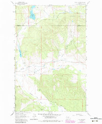
Editions of this 1964 Lynch Lake Map
2 editions found
Other maps of this area

1920 · Jennings
USGS Topo · 1:125,000

1935 · Thompson Lakes
USGS Topo · 1:96,000

1942 · Thompson Lakes
USGS Topo · 1:125,000

1957 · Kalispell
USGS Topo · 1:250,000

1960 · Kalispell
USGS Topo · 1:250,000

1961 · Kalispell
USGS Topo · 1:250,000

1963 · Wolf Prairie
USGS Topo · 1:24,000

1963 · Sylvia Lake
USGS Topo · 1:24,000
1963 · Horse Hill
USGS Topo · 1:24,000

1964 · Meadow Peak
USGS Topo · 1:24,000