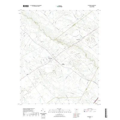
2020 Map of Lynchburg
USGS Topo · Published 2020About this map
The Lynches River winds through this low-lying region of the coastal plain, marking the borders of Lee, Florence, and Darlington counties. This landscape is defined by its water-rich bottomlands, where Deep Hole Swamp, Douglas Swamp, and Pudding Swamp flank the higher ground where local agriculture and settlements took hold. In the central portion of the sheet, the town of Lynchburg and nearby South Lynchburg serve as local hubs, connected to Cartersville and Atkins by a network of rural roads such as Carterville Hwy and Lynches River Rd.
Find a feature on this map
86 named features on this map. Tap any name to fly to it.
Don’t see what you’re looking for? This feature index may not catch every label — zoom into the map to look around manually.
Map Details
Editions of this 2020 Lynchburg Map
This is the sole edition of this map. No revisions or reprints were ever made.
Other maps of this area

1920 · Mayesville
USGS Topo · 1:48,000

1921 · Mayesville
USGS Topo · 1:62,500

1940 · Florence West
USGS Topo · 1:62,500

1941 · Spartanburg
USGS Topo · 1:250,000

1943 · Mayesville
USGS Topo · 1:62,500

1945 · Florence West
USGS Topo · 1:62,500

1946 · Lake City
USGS Topo · 1:62,500

1949 · Georgetown
USGS Topo · 1:250,000

1953 · Florence
USGS Topo · 1:250,000

1953 · Spartanburg
USGS Topo · 1:250,000