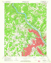
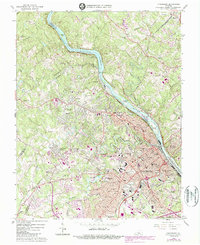
1963 Map of Lynchburg
USGS Topo · Published 1965About this map
The James River carves a deep path through this mid-century survey of Lynchburg, separating the urban center from industrial sites like Reusens and the residential growth of Madison Heights. The landscape is a hub of education and transport, featuring the campuses of Randolph Macon Womans College, Lynchburg College, and Villa Maria Academy. Long-standing rail lines including the Southern, Chesapeake and Ohio, and Norfolk and Western railroads converge here, tracing the riverbanks and fueling the development of neighborhoods from Rivermont to Fort Hill.
Find a feature on this map
100 named features on this map. Tap any name to fly to it.
Don’t see what you’re looking for? This feature index may not catch every label — zoom into the map to look around manually.
Map Details
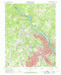
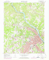
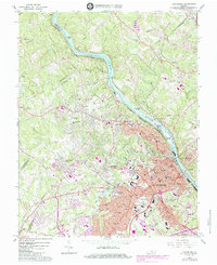
Editions of this 1963 Lynchburg Map
5 editions found
Other maps of this area

1892 · Lynchburg
USGS Topo · 1:125,000

1894 · Lexington
USGS Topo · 1:125,000

1935 · Buena Vista
USGS Topo · 1:48,000

1935 · Amherst
USGS Topo · 1:48,000

1939 · Amherst
USGS Topo · 1:62,500

1939 · Buena Vista
USGS Topo · 1:62,500

1940 · Buena Vista
USGS Topo · 1:62,500

1944 · Lynchburg
USGS Topo · 1:62,500

1947 · Roanoke
USGS Topo · 1:250,000

1950 · Goode
USGS Topo · 1:62,500