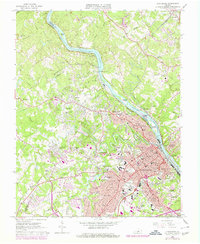
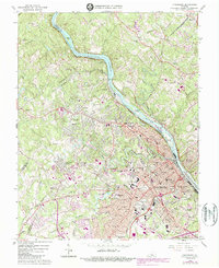
1963 Map of Lynchburg
USGS Topo · Published 1978About this map
The James River carves a deep path through this mid-century portrait of central Virginia, serving as a boundary between Amherst and Bedford counties. The city of Lynchburg dominates the southern half of the sheet, displaying its dense residential neighborhoods like Rivermont, Dearington, and Fort Hill. Industrial and utility infrastructure is prominently mapped, including the Reusens Dam, a large Filtration Plant, and several water tanks. The map reveals a landscape defined by education and spirituality, noting the sprawling campus of Randolph Macon Womans College and numerous local landmarks like Thomas Rd Ch and the Villa Maria Academy.
Find a feature on this map
100 named features on this map. Tap any name to fly to it.
Don’t see what you’re looking for? This feature index may not catch every label — zoom into the map to look around manually.
Map Details
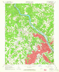
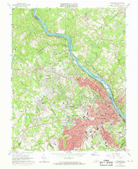
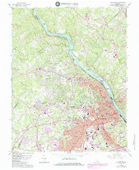
Editions of this 1963 Lynchburg Map
5 editions found
Other maps of this area

1892 · Lynchburg
USGS Topo · 1:125,000

1894 · Lexington
USGS Topo · 1:125,000

1935 · Buena Vista
USGS Topo · 1:48,000

1935 · Amherst
USGS Topo · 1:48,000

1939 · Amherst
USGS Topo · 1:62,500

1939 · Buena Vista
USGS Topo · 1:62,500

1940 · Buena Vista
USGS Topo · 1:62,500

1944 · Lynchburg
USGS Topo · 1:62,500

1947 · Roanoke
USGS Topo · 1:250,000

1950 · Goode
USGS Topo · 1:62,500