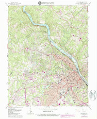
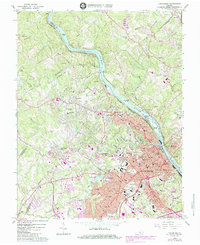
1963 Map of Lynchburg
USGS Topo · Published 1987About this map
The James River serves as the central artery for this mid-century portrait of Lynchburg, where the waters wind past Treasure Island and Daniel Island. The city's landscape is defined by its educational institutions and transportation networks, featuring the sprawling campuses of Randolph Macon Womans College and Lynchburg College. A convergence of major rail lines, including the Chesapeake and Ohio, Southern, and Norfolk and Western, highlights the area's industrial importance during the 1960s. Across the river, Madison Heights and settlements like Reusens and Winesap reveal the suburban and rural expansion of Amherst County. This survey provides a meticulous record of civic infrastructure, from Holy Cross Cemetery and Spring Hill Cemetery to several specialized schools like Villa Maria Academy and Dunbar High Sch. Land use patterns transition from the dense urban blocks of Rivermont to the outlying Blue Ridge Farms, reflecting the post-war growth of the region.
Find a feature on this map
91 named features on this map. Tap any name to fly to it.
Don’t see what you’re looking for? This feature index may not catch every label — zoom into the map to look around manually.
Map Details
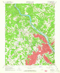
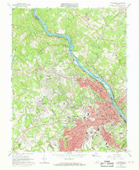
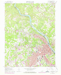
Editions of this 1963 Lynchburg Map
5 editions found
Other maps of this area

1892 · Lynchburg
USGS Topo · 1:125,000

1894 · Lexington
USGS Topo · 1:125,000

1935 · Buena Vista
USGS Topo · 1:48,000

1935 · Amherst
USGS Topo · 1:48,000

1939 · Amherst
USGS Topo · 1:62,500

1939 · Buena Vista
USGS Topo · 1:62,500

1940 · Buena Vista
USGS Topo · 1:62,500

1944 · Lynchburg
USGS Topo · 1:62,500

1947 · Roanoke
USGS Topo · 1:250,000

1950 · Goode
USGS Topo · 1:62,500