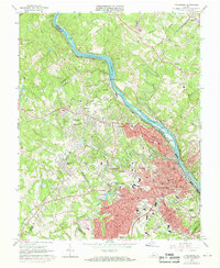
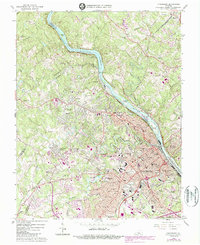
1963 Map of Lynchburg
USGS Topo · Published 1969About this map
The James River corridor defines this landscape near the close of the 1960s, serving as both a jurisdictional boundary and an industrial artery. The city of Lynchburg is the clear anchor, shown during a period of significant suburban and academic expansion. The map highlights several prominent institutions of higher learning, including Randolph Macon Womans College and Lynchburg College, alongside religious and social landmarks like the Villa Maria Academy and Holy Cross Cemetery.
Find a feature on this map
117 named features on this map. Tap any name to fly to it.
Don’t see what you’re looking for? This feature index may not catch every label — zoom into the map to look around manually.
Map Details
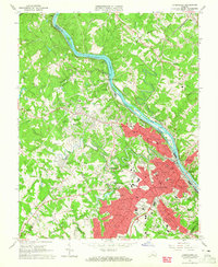
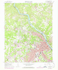
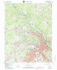
Editions of this 1963 Lynchburg Map
5 editions found
Other maps of this area

1892 · Lynchburg
USGS Topo · 1:125,000

1894 · Lexington
USGS Topo · 1:125,000

1935 · Buena Vista
USGS Topo · 1:48,000

1935 · Amherst
USGS Topo · 1:48,000

1939 · Amherst
USGS Topo · 1:62,500

1939 · Buena Vista
USGS Topo · 1:62,500

1940 · Buena Vista
USGS Topo · 1:62,500

1944 · Lynchburg
USGS Topo · 1:62,500

1947 · Roanoke
USGS Topo · 1:250,000

1950 · Goode
USGS Topo · 1:62,500