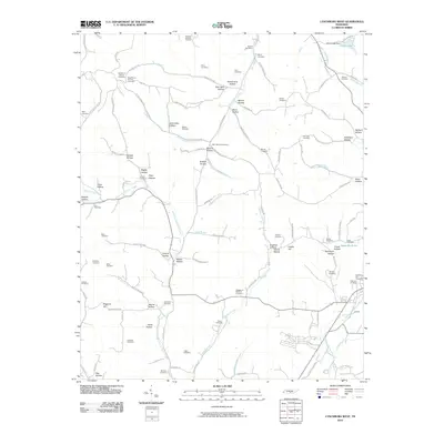
2010 Map of Lynchburg West
USGS Topo · Published 2010About this map
West Fork Mulberry Creek and the East Fork Mulberry Creek define the drainage of this Tennessee landscape, where deeply etched hollows like McNatt Hollow and John Allen Hollow dictate the placement of early homesteads and cemeteries. For genealogists, the map is remarkably dense with family-named burial grounds, including the Old Mount Herman Cemetery and New Mount Herman Cemetery in the northwest, and the Lynchburg City Cemetery near the eastern edge.
Find a feature on this map
114 named features on this map. Tap any name to fly to it.
Don’t see what you’re looking for? This feature index may not catch every label — zoom into the map to look around manually.
Map Details
Editions of this 2010 Lynchburg West Map
This is the sole edition of this map. No revisions or reprints were ever made.
Other maps of this area

1936 · Booneville
USGS Topo · 1:24,000

1936 · Shelbyville
USGS Topo · 1:24,000

1936 · Cumberland Springs
USGS Topo · 1:24,000

1936 · Belleville
USGS Topo · 1:24,000

1936 · Bedford
USGS Topo · 1:24,000

1936 · Mulberry
USGS Topo · 1:24,000

1936 · Normandy
USGS Topo · 1:24,000

1936 · Fayetteville
USGS Topo · 1:24,000

1936 · Lois
USGS Topo · 1:24,000

1941 · Cumberland Springs
USGS Topo · 1:24,000