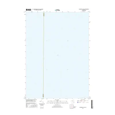
2016 Map of Lyndonville OE N
USGS Topo · Published 2016About this map
Lake Ontario dominates this 2016 maritime survey, which focuses on the open waters north of the New York shoreline. The map documents the aquatic boundary between Niagara Co and Orleans Co as it extends into the lake. This particular sheet is almost entirely hydrographic, providing a precise look at the coordinates and international-standard grid systems used for modern navigation and boundary management in the Great Lakes region. The placement of the county line serves as a primary point of reference for offshore jurisdictional limits between the towns of Somerset and Yates.
Find a feature on this map
2 named features on this map. Tap any name to fly to it.
Don’t see what you’re looking for? This feature index may not catch every label — zoom into the map to look around manually.
Map Details
Editions of this 2016 Lyndonville OE N Map
This is the sole edition of this map. No revisions or reprints were ever made.
Other maps of this area

1897 · Olcott
USGS Topo · 1:62,500

1897 · Ridgeway
USGS Topo · 1:62,500

1899 · Niagara
USGS Topo · 1:125,000

1944 · Ashwood
USGS Topo · 1:31,680

1948 · Olcott
USGS Topo · 1:62,500
1949 · Barker
USGS Topo · 1:24,000
1950 · Ridgeway
USGS Topo · 1:62,500
1950 · Ashwood
USGS Topo · 1:24,000
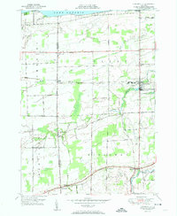
1951 · Lyndonville
USGS Topo · 1:24,000
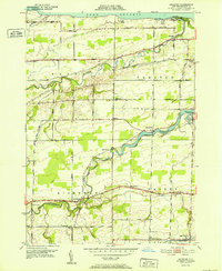
1952 · Ashwood
USGS Topo · 1:24,000