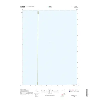
2019 Map of Lyndonville OE N
USGS Topo · Published 2019About this map
Lake Ontario dominates the expanse of this 2019 survey, covering the vast majority of the shoreline-adjacent waters near the border of Western New York. The map provides a focused view of the open water north of the shoreline, defined primarily by the jurisdictional boundary between Niagara Co and Orleans Co which extends vertically through the lake. This particular sheet captures the aquatic approach to the shoreline, offering a clear representation of the international water body's layout just before it meets the northern edges of Niagara and Orleans counties.
Find a feature on this map
2 named features on this map. Tap any name to fly to it.
Don’t see what you’re looking for? This feature index may not catch every label — zoom into the map to look around manually.
Map Details
Editions of this 2019 Lyndonville OE N Map
This is the sole edition of this map. No revisions or reprints were ever made.
Other maps of this area

1897 · Olcott
USGS Topo · 1:62,500

1897 · Ridgeway
USGS Topo · 1:62,500

1899 · Niagara
USGS Topo · 1:125,000

1944 · Ashwood
USGS Topo · 1:31,680

1948 · Olcott
USGS Topo · 1:62,500
1949 · Barker
USGS Topo · 1:24,000
1950 · Ridgeway
USGS Topo · 1:62,500
1950 · Ashwood
USGS Topo · 1:24,000
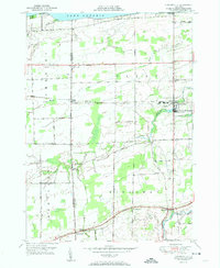
1951 · Lyndonville
USGS Topo · 1:24,000
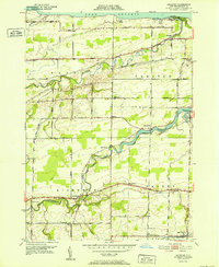
1952 · Ashwood
USGS Topo · 1:24,000