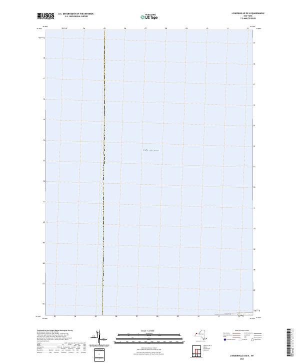
2023 Map of Lyndonville OE N
USGS Topo · Published 2023About this map
Lake Ontario dominates this 2023 survey of the waters north of Niagara County, New York. As part of the Lyndonville OE N quadrangle, this sheet primarily documents the open aquatic expanse of the Great Lakes, providing a precise record of the bathymetry and hydrographic data maintained by the U.S. Geological Survey and other federal agencies. The map illustrates a nearly singular environment of open water, useful for maritime researchers and those studying the shoreline transitions of the Niagara region. While devoid of terrestrial settlements, it remains a critical piece of the geographical puzzle for the New York borderlands.
Find a feature on this map
1 named feature on this map. Tap any name to fly to it.
Don’t see what you’re looking for? This feature index may not catch every label — zoom into the map to look around manually.
Map Details
Editions of this 2023 Lyndonville OE N Map
This is the sole edition of this map. No revisions or reprints were ever made.
Other maps of this area

1897 · Olcott
USGS Topo · 1:62,500

1897 · Ridgeway
USGS Topo · 1:62,500

1899 · Niagara
USGS Topo · 1:125,000

1944 · Ashwood
USGS Topo · 1:31,680

1948 · Olcott
USGS Topo · 1:62,500
1949 · Barker
USGS Topo · 1:24,000
1950 · Ridgeway
USGS Topo · 1:62,500
1950 · Ashwood
USGS Topo · 1:24,000
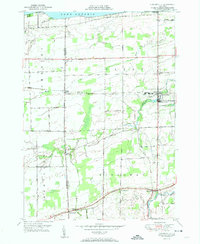
1951 · Lyndonville
USGS Topo · 1:24,000
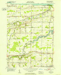
1952 · Ashwood
USGS Topo · 1:24,000