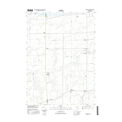
2016 Map of Lyndonville
USGS Topo · Published 2016About this map
Lake Ontario defines the northern edge of this Orleans County landscape, where the shoreline near Thirtymile Point transitions into a grid of orchards and agricultural fields. The village of Lyndonville serves as the central hub of the quadrangle, surrounded by smaller historical clusters such as North Ridgeway, Yates Center, and Millers. A high concentration of burial sites, including Lynhaven Cem and Saint Patricks Cem, provides significant genealogical touchpoints for the region.
Find a feature on this map
53 named features on this map. Tap any name to fly to it.
Don’t see what you’re looking for? This feature index may not catch every label — zoom into the map to look around manually.
Map Details
Editions of this 2016 Lyndonville Map
This is the sole edition of this map. No revisions or reprints were ever made.
Other maps of this area

1897 · Olcott
USGS Topo · 1:62,500

1897 · Medina
USGS Topo · 1:62,500

1897 · Lockport
USGS Topo · 1:62,500

1897 · Ridgeway
USGS Topo · 1:62,500

1899 · Niagara
USGS Topo · 1:125,000

1902 · Lockport
USGS Topo · 1:62,500

1905 · Lockport
USGS Topo · 1:62,500

1944 · Ashwood
USGS Topo · 1:31,680

1948 · Lockport
USGS Topo · 1:62,500

1948 · Olcott
USGS Topo · 1:62,500