2024 Map of Lynn
USGS Topo · Published 2024About this map
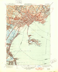
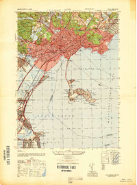
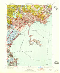
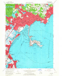
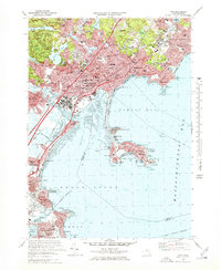
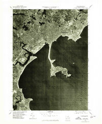
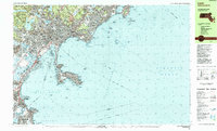
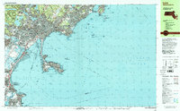
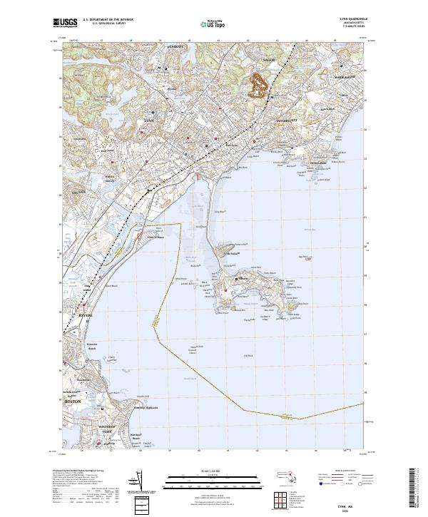
Nahant and its connected peninsula of Little Nahant anchor the coastal geography of this Essex County study, where the Atlantic shoreline meets a densely developed urban corridor. The landscape is defined by its maritime orientation, from the sheltered waters of Nahant Harbor and Broad Sound to the rocky outcroppings of Phillips Point and Tedesco Rocks. Inland, the terrain is punctuated by significant local landmarks such as High Rock and Dungeon Rock, alongside numerous water bodies including Flax Pond and Breeds Pond.
Find a feature on this map
144 named features on this map. Tap any name to fly to it.
Don’t see what you’re looking for? This feature index may not catch every label — zoom into the map to look around manually.
Map Details
Editions of this 2024 Lynn Map
This is the sole edition of this map. No revisions or reprints were ever made.
Historical Maps of Oak Island Through Time
11 maps found