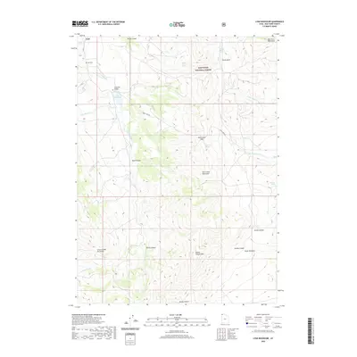
2020 Map of Lynn Reservoir
USGS Topo · Published 2020About this map
Lynn and the neighboring settlement of Junction Valley sit within a high-elevation landscape where the Raft River Mountains and Grouse Creek Mountains converge. This 2020 map documents a remote corner of Box Elder County characterized by its intricate drainage systems and alpine basins. Modern infrastructure is limited, centering on Dove Creek Rd as it crosses Dove Creek Pass and navigates the steep terrain of the Sawtooth National Forest. The map is particularly useful for identifying vital water sources in this arid environment, naming numerous springs such as Chambers Spring, Clarks Basin Spring, and Thirtysix Spring. For those researching family history in the region, the Lynn Cem provides a specific point of reference near the northwestern edge of Lynn Reservoir. The topography transitions from the jagged heights of Marble Canyon Peak to the deep recesses of Danish Hollow and Poison Canyon, illustrating the varied geography of the Great Basin's northern reaches.
Find a feature on this map
29 named features on this map. Tap any name to fly to it.
Don’t see what you’re looking for? This feature index may not catch every label — zoom into the map to look around manually.
Map Details
Editions of this 2020 Lynn Reservoir Map
This is the sole edition of this map. No revisions or reprints were ever made.
Other maps of this area

1954 · Brigham City
USGS Topo · 1:250,000

1958 · Brigham City
USGS Topo · 1:250,000

1959 · Cotton Thomas Basin
USGS Topo · 1:62,500

1959 · Yost
USGS Topo · 1:62,500

1962 · Brigham City
USGS Topo · 1:250,000

1971 · Potters Creek
USGS Topo · 1:24,000

1971 · Warm Spring Hills
USGS Topo · 1:24,000
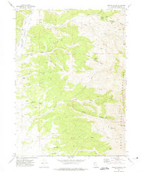
1971 · Ingham Canyon
USGS Topo · 1:24,000

1987 · Grouse Creek
USGS Topo · 1:100,000
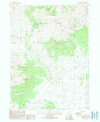
1990 · Dennis Hill
USGS Topo · 1:24,000