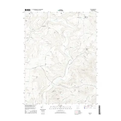
2016 Map of Lynx
USGS Topo · Published 2016About this map
Ohio Brush Creek meanders through this portion of Adams County, defining a landscape of sharp ridges and narrow hollows. Small agricultural and residential clusters like Lynx and Dunkinsville anchor the local road network, which is composed largely of township and county routes such as Hoop Ridge Rd and Steam Furnace Rd. The map reveals a dense concentration of local history markers, particularly family and community cemeteries. From the Vaughns Chapel Cem near the northern border to the Hamilton Cem in the south, these sites provide a spatial record of long-standing local lineages.
Find a feature on this map
110 named features on this map. Tap any name to fly to it.
Don’t see what you’re looking for? This feature index may not catch every label — zoom into the map to look around manually.
Map Details
Editions of this 2016 Lynx Map
This is the sole edition of this map. No revisions or reprints were ever made.
Other maps of this area
1916 · Peebles
USGS Topo · 1:62,500
1918 · Peebles
USGS Topo · 1:62,500
1918 · Seaman
USGS Topo · 1:62,500
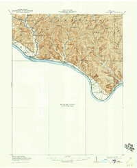
1919 · Vanceburg
USGS Topo · 1:62,500
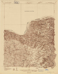
1929 · Springdale
USGS Topo · 1:48,000
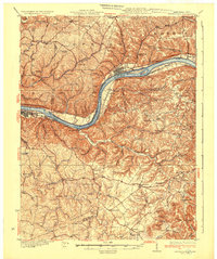
1935 · Springdale
USGS Topo · 1:62,500
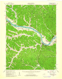
1949 · Vanceburg
USGS Topo · 1:62,500
1949 · Buena Vista
USGS Topo · 1:24,000
1949 · Concord
USGS Topo · 1:24,000
1951 · Buena Vista
USGS Topo · 1:24,000