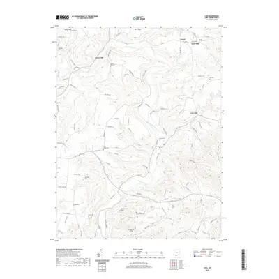
2019 Map of Lynx
USGS Topo · Published 2019About this map
Ohio Brush Creek meanders through this section of Adams County, carving a valley between prominent elevations like Scrub Ridge and Greenbrier Ridge. The settlement of Lynx serves as a central point in a landscape defined by its network of winding roads and numerous family and community burial sites. These cemeteries, including Vaughns Chapel Cem, United Brethren Cem, and Mount Armenia Cem, are scattered across the uplands, offering significant genealogical data for those tracing local lineages.
Find a feature on this map
113 named features on this map. Tap any name to fly to it.
Don’t see what you’re looking for? This feature index may not catch every label — zoom into the map to look around manually.
Map Details
Editions of this 2019 Lynx Map
This is the sole edition of this map. No revisions or reprints were ever made.
Other maps of this area
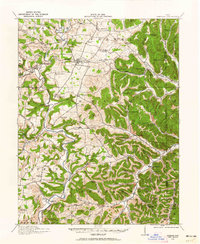
1916 · Peebles
USGS Topo · 1:62,500
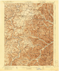
1918 · Peebles
USGS Topo · 1:62,500
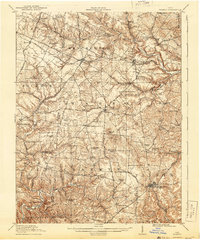
1918 · Seaman
USGS Topo · 1:62,500
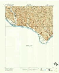
1919 · Vanceburg
USGS Topo · 1:62,500
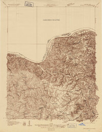
1929 · Springdale
USGS Topo · 1:48,000
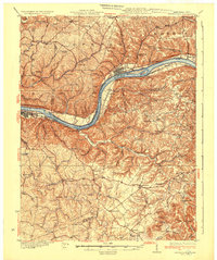
1935 · Springdale
USGS Topo · 1:62,500
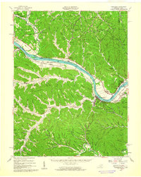
1949 · Vanceburg
USGS Topo · 1:62,500
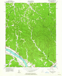
1949 · Buena Vista
USGS Topo · 1:24,000
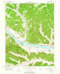
1949 · Concord
USGS Topo · 1:24,000
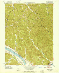
1951 · Buena Vista
USGS Topo · 1:24,000