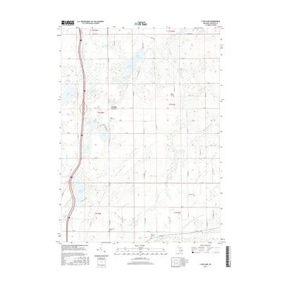
2017 Map of Lyon Lake
USGS Topo · Published 2017About this map
Wrights Corners serves as a central landmark in this portion of Calhoun County, where a network of rural roads such as 17 Mile Rd and F Dr S connect scattered farmsteads and agricultural plots. The landscape is defined by its complex glacial hydrology, featuring a high concentration of small lakes and kettle ponds including Lyon Lake, Stuart Lake, and the larger Nottawa Lake to the southwest. These water bodies are often linked by an intricate system of managed watercourses like Huckleberry Drain and Goose Pond Drain, illustrating the region's long-standing efforts to manage the water table for farming.
Find a feature on this map
71 named features on this map. Tap any name to fly to it.
Don’t see what you’re looking for? This feature index may not catch every label — zoom into the map to look around manually.
Map Details
Editions of this 2017 Lyon Lake Map
This is the sole edition of this map. No revisions or reprints were ever made.
Other maps of this area

1918 · Battle Creek
USGS Topo · 1:62,500

1918 · Union City
USGS Topo · 1:62,500

1921 · Marshall
USGS Topo · 1:62,500

1923 · Marshall
USGS Topo · 1:62,500

1943 · Battle Creek
USGS Topo · 1:62,500

1943 · Marshall
USGS Topo · 1:62,500

1947 · Ceresco
USGS Topo · 1:24,000

1947 · Union City
USGS Topo · 1:62,500

1948 · Homer
USGS Topo · 1:62,500

1949 · Homer
USGS Topo · 1:62,500