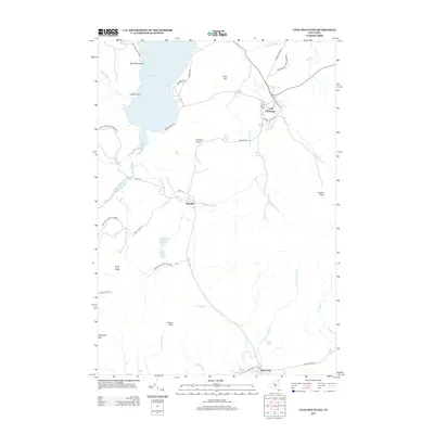
2013 Map of Lyon Mountain
USGS Topo · Published 2013About this map
Upper Chateaugay Lake dominates the northwest corner of this Adirondack region, its shoreline defined by Split Rock Point and Indian Point. Within the bounds of the Adirondack Park Preserve, the settlements of Lyon Mountain and Standish serve as primary hubs connected by Standish Rd. The terrain is characterized by significant elevations including Averill Peak, Birch Hill, and Parsons Knob, which influence the drainage of numerous waterways like Standish Brook and Separator Brook. Local infrastructure is concentrated around the base of the mountains, with street names such as School Hill Rd, Firehouse Ln, and Power House Rd reflecting the civic history and community development of this mountain town area during the early twenty-first century.
Find a feature on this map
42 named features on this map. Tap any name to fly to it.
Don’t see what you’re looking for? This feature index may not catch every label — zoom into the map to look around manually.
Map Details
Editions of this 2013 Lyon Mountain Map
This is the sole edition of this map. No revisions or reprints were ever made.
Other maps of this area

1906 · Loon Lake
USGS Topo · 1:62,500

1908 · Loon Lake
USGS Topo · 1:62,500

1911 · Lyon Mountain
USGS Topo · 1:62,500

1913 · Lyon Mountain
USGS Topo · 1:62,500

1915 · Churubusco
USGS Topo · 1:62,500

1915 · Chateaugay
USGS Topo · 1:62,500

1931 · Lyon Mountain
USGS Topo · 1:62,500

1943 · Churubusco
USGS Topo · 1:62,500

1943 · Chateaugay
USGS Topo · 1:62,500

1948 · Ogdensburg
USGS Topo · 1:250,000