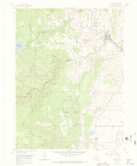
1968 Map of Lyons
USGS Topo · Published 1974About this map
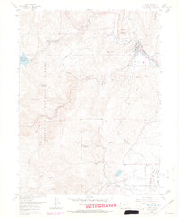
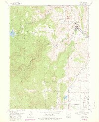
Lyons sits at the confluence of the north and south branches of St Vrain Creek, serving as a gateway to the mountainous terrain of the Roosevelt National Forest to the west. This 1968 revision reveals a landscape heavily shaped by water management and resource extraction, with the Longmont Powerplant, an aqueduct, and the St Vrain Supply Canal tracing the steep topography. Numerous quarries and mines are scattered throughout the foothills, particularly around Steamboat Mountain and Indian Lookout Mountain, illustrating the region's industrial foundations. Further south, the map details smaller settlements like Altona and Grange near Table Mountain. Infrastructure for the growing front range is evident in the Button Rock Reservoir and Longmont Reservoir, while a complex network of ditches like the South Ledge Ditch and Crocker Ditch supports local agriculture and water distribution.
Find a feature on this map
56 named features on this map. Tap any name to fly to it.
Don’t see what you’re looking for? This feature index may not catch every label — zoom into the map to look around manually.
Map Details
Editions of this 1968 Lyons Map
6 editions found
Other maps of this area

1902 · Boulder
USGS Topo · 1:62,500

1904 · Niwot
USGS Topo · 1:62,500

1904 · Boulder
USGS Topo · 1:62,500

1905 · Mount Olympus
USGS Topo · 1:62,500

1906 · Loveland
USGS Topo · 1:62,500

1907 · Mount Olympus
USGS Topo · 1:62,500

1908 · Loveland
USGS Topo · 1:62,500

1950 · Hygiene
USGS Topo · 1:24,000

1950 · Niwot
USGS Topo · 1:24,000
1951 · Niwot
USGS Topo · 1:24,000