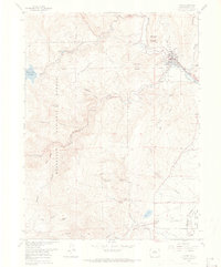
1968 Map of Lyons
USGS Topo · Published 1974About this map
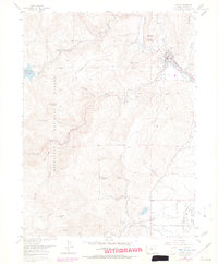
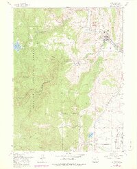
Lyons serves as the focal point for this late-1960s survey, situated where the North St Vrain Creek and South St Vrain Creek converge to form St Vrain Creek. The landscape is defined by the sharp transition from the plains to the foothills, marked by numerous Quarries and industrial sites like the Longmont Powerplant. Significant water management infrastructure is evident throughout the terrain, including the St Vrain Supply Tunnel, St Vrain Supply Canal, and the Aqueduct system, illustrating the region's historical reliance on irrigation and power generation.
Find a feature on this map
52 named features on this map. Tap any name to fly to it.
Don’t see what you’re looking for? This feature index may not catch every label — zoom into the map to look around manually.
Map Details
Editions of this 1968 Lyons Map
6 editions found
Other maps of this area

1902 · Boulder
USGS Topo · 1:62,500

1904 · Niwot
USGS Topo · 1:62,500

1904 · Boulder
USGS Topo · 1:62,500

1905 · Mount Olympus
USGS Topo · 1:62,500

1906 · Loveland
USGS Topo · 1:62,500

1907 · Mount Olympus
USGS Topo · 1:62,500

1908 · Loveland
USGS Topo · 1:62,500

1950 · Hygiene
USGS Topo · 1:24,000

1950 · Niwot
USGS Topo · 1:24,000
1951 · Niwot
USGS Topo · 1:24,000