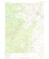
1968 Map of Lyons
USGS Topo · Published 1968About this map
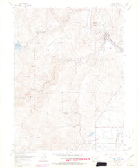
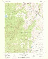
Lyons serves as the focal point of this 1968 landscape, situated where North St Vrain Creek and South St Vrain Creek converge. The town's industrial character is marked by numerous Quarries and gravel pits, reflecting the importance of stone extraction to the local economy. Further west, the terrain rises sharply into the Roosevelt National Forest, dominated by peaks like Steamboat Mountain and Indian Lookout Mountain. The infrastructure of water management is visible through the Button Rock Reservoir and the St Vrain Supply Tunnel, which underscore the region's reliance on managed water resources for agriculture and local utility. To the south, the settlement of Altona sits near Table Mountain, while the winding St Vrain Supply Canal traces the base of the foothills, illustrating the complex engineering required to move water across this varied topography.
Find a feature on this map
45 named features on this map. Tap any name to fly to it.
Don’t see what you’re looking for? This feature index may not catch every label — zoom into the map to look around manually.
Map Details
Editions of this 1968 Lyons Map
6 editions found
Other maps of this area

1902 · Boulder
USGS Topo · 1:62,500

1904 · Niwot
USGS Topo · 1:62,500

1904 · Boulder
USGS Topo · 1:62,500

1905 · Mount Olympus
USGS Topo · 1:62,500

1906 · Loveland
USGS Topo · 1:62,500

1907 · Mount Olympus
USGS Topo · 1:62,500

1908 · Loveland
USGS Topo · 1:62,500

1950 · Hygiene
USGS Topo · 1:24,000

1950 · Niwot
USGS Topo · 1:24,000
1951 · Niwot
USGS Topo · 1:24,000