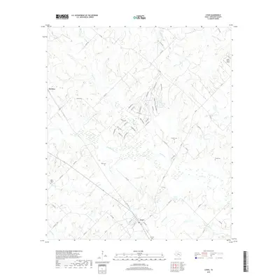
2019 Map of Lyons
USGS Topo · Published 2019About this map
The town of Lyons serves as the primary hub in this portion of Burleson County, where the landscape is defined by the convergence of numerous watercourses and subtle ridges. Located near the southern edge of the map, the settlement is surrounded by a network of local roads and several family or community burial grounds including Lyons Cem and Lawrence Cem. The topography is shaped by the winding paths of Davidson Creek, Sandy Creek, and the wetlands associated with Rough Bayou.
Find a feature on this map
70 named features on this map. Tap any name to fly to it.
Don’t see what you’re looking for? This feature index may not catch every label — zoom into the map to look around manually.
Map Details
Editions of this 2019 Lyons Map
This is the sole edition of this map. No revisions or reprints were ever made.
Other maps of this area

1914 · Gay Hill
USGS Topo · 1:62,500

1954 · Austin
USGS Topo · 1:250,000

1956 · Bryan
USGS Topo · 1:62,500

1956 · Caldwell
USGS Topo · 1:62,500

1956 · Somerville
USGS Topo · 1:62,500

1959 · Flag Pond
USGS Topo · 1:24,000

1959 · Gay Hill
USGS Topo · 1:24,000

1959 · Somerville
USGS Topo · 1:24,000

1960 · Lyons
USGS Topo · 1:24,000
1960 · Snook
USGS Topo · 1:24,000