
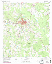
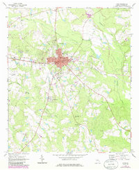
1970 Map of Lyons
USGS Topo · Published 1973About this map
Lyons serves as the focal point of this Toombs County survey, showing the city's grid integrated with the Seaboard Coast Line railroad and local civic landmarks like the Courthouse and City Hall. Just to the south, the uniquely named settlement of Santa Claus appears along the highway, while the eastern edge of the Vidalia Corporate Bdy and the Vidalia Municipal Airport reach into the quadrangle.
Find a feature on this map
43 named features on this map. Tap any name to fly to it.
Don’t see what you’re looking for? This feature index may not catch every label — zoom into the map to look around manually.
Map Details
Editions of this 1970 Lyons Map
3 editions found
Other maps of this area

1957 · Macon
USGS Topo · 1:250,000

1958 · Macon
USGS Topo · 1:250,000

1964 · Macon
USGS Topo · 1:250,000

1970 · Cobbtown
USGS Topo · 1:24,000

1970 · Johnson Corner
USGS Topo · 1:24,000

1970 · Alston
USGS Topo · 1:24,000

1970 · Oak Park SW
USGS Topo · 1:24,000

1970 · Vidalia
USGS Topo · 1:24,000

1970 · Ohoopee
USGS Topo · 1:24,000

1970 · Reidsville West
USGS Topo · 1:24,000