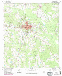
1970 Map of Lyons
USGS Topo · Published 1985About this map
The Lyons community serves as the central hub of Toombs County in this 1970s-era study, where the Seaboard Coast Line railroad dictates the town’s east-west orientation. The street grid is densely developed around the Courthouse, City Hall, and Po, while the unique settlement of Santa Claus sits to the south along US Highway 1. This southern extension highlights a transition from the urban core of Lyons to a landscape punctuated by several trailer parks and roadside developments.
Find a feature on this map
45 named features on this map. Tap any name to fly to it.
Don’t see what you’re looking for? This feature index may not catch every label — zoom into the map to look around manually.
Map Details
Editions of this 1970 Lyons Map
3 editions found

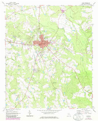
Other maps of this area

1957 · Macon
USGS Topo · 1:250,000

1958 · Macon
USGS Topo · 1:250,000

1964 · Macon
USGS Topo · 1:250,000

1970 · Cobbtown
USGS Topo · 1:24,000

1970 · Johnson Corner
USGS Topo · 1:24,000

1970 · Alston
USGS Topo · 1:24,000

1970 · Oak Park SW
USGS Topo · 1:24,000

1970 · Vidalia
USGS Topo · 1:24,000

1970 · Ohoopee
USGS Topo · 1:24,000

1970 · Reidsville West
USGS Topo · 1:24,000