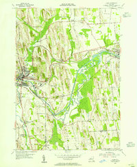
1953 Map of Lyons
USGS Topo · Published 1955About this map
The Erie Canal and Clyde River dominate this mid-century Wayne County landscape, tracing a shared path through the glacial drumlins that define the region's topography. The village of Lyons serves as a significant hub, marked by a dense concentration of civic infrastructure including Lyons Park, the Sewage Disposal plant, and the intersection of the New York Central railroad lines. To the east, the village of Clyde anchors the map, while smaller settlements like Lock Berlin, Alloway, and Pilgrimport illustrate the area's rural development.
Find a feature on this map
52 named features on this map. Tap any name to fly to it.
Don’t see what you’re looking for? This feature index may not catch every label — zoom into the map to look around manually.
Map Details
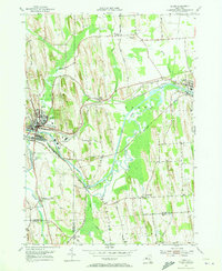
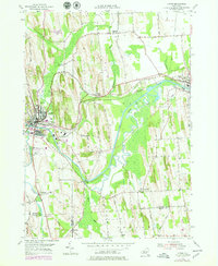
Editions of this 1953 Lyons Map
3 editions found
Other maps of this area

1899 · Palmyra
USGS Topo · 1:62,500

1902 · Geneva
USGS Topo · 1:62,500

1902 · Clyde
USGS Topo · 1:62,500

1902 · Phelps
USGS Topo · 1:62,500

1902 · Palmyra
USGS Topo · 1:62,500

1943 · Lyons
USGS Topo · 1:31,680

1943 · Geneva North
USGS Topo · 1:31,680

1943 · Phelps
USGS Topo · 1:31,680

1943 · Savannah
USGS Topo · 1:31,680

1943 · Sodus
USGS Topo · 1:31,680