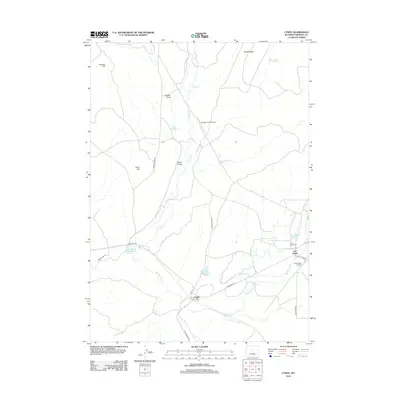
2012 Map of Lysite
USGS Topo · Published 2012About this map
Lysite and Lost Cabin serve as the primary hubs in this high-desert landscape, where human settlement is defined by the management of scarce water resources. The terrain is marked by essential infrastructure such as the Burlington Ditch and numerous small-scale water projects, including Waterworks Number 3 Reservoir and Percy Reservoir. The convergence of Bridger Cr and Badwater Cr dictates the local geography, with roads like Badwater Rd and Lysite Creek Rd following these natural corridors through the sagebrush flats.
Find a feature on this map
31 named features on this map. Tap any name to fly to it.
Don’t see what you’re looking for? This feature index may not catch every label — zoom into the map to look around manually.
Map Details
Editions of this 2012 Lysite Map
This is the sole edition of this map. No revisions or reprints were ever made.
Other maps of this area

1952 · Squaw Butte NE
USGS Topo · 1:24,000

1952 · Gates Butte
USGS Topo · 1:24,000

1952 · Cottonwood Pass
USGS Topo · 1:24,000

1952 · Moneta
USGS Topo · 1:24,000

1952 · Lysite
USGS Topo · 1:24,000

1952 · Madden
USGS Topo · 1:24,000

1952 · Lysite SE
USGS Topo · 1:24,000

1952 · Arapahoe Butte
USGS Topo · 1:24,000

1952 · De Pass
USGS Topo · 1:24,000

1955 · Arminto
USGS Topo · 1:250,000