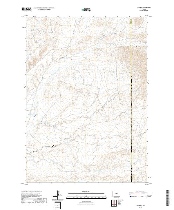
2021 Map of Lysite SE
USGS Topo · Published 2021About this map
The Pr Gas Plant anchors the industrial landscape of this high-plains terrain in central Wyoming, situated just north of the Lost Cabin Rd corridor. This modern survey illustrates the complex drainage networks of the Wind River Basin, where seasonal watercourses like South Fork Badwater Creek and the S Fork Sand Cr carve through the land. The presence of the Okie Reservoir and various creek systems highlights the importance of water management in this arid region, while the boundary between Fremont Co and Natrona Co runs along the eastern portion of the map. Local infrastructure is defined by a series of gravel and unimproved roads, including Badwater Rd and Nowood Rd, which connect the industrial energy sites to the broader landscape of the Wyoming interior.
Find a feature on this map
21 named features on this map. Tap any name to fly to it.
Don’t see what you’re looking for? This feature index may not catch every label — zoom into the map to look around manually.
Map Details
Editions of this 2021 Lysite SE Map
This is the sole edition of this map. No revisions or reprints were ever made.
Other maps of this area

1952 · Cottonwood Pass
USGS Topo · 1:24,000

1952 · Moneta
USGS Topo · 1:24,000

1952 · Badwater
USGS Topo · 1:24,000

1952 · Lysite
USGS Topo · 1:24,000

1952 · Madden
USGS Topo · 1:24,000

1952 · Arminto NW
USGS Topo · 1:24,000

1952 · Lysite SE
USGS Topo · 1:24,000

1952 · Sioux Pass
USGS Topo · 1:24,000

1952 · Arapahoe Butte
USGS Topo · 1:24,000

1955 · Arminto
USGS Topo · 1:250,000