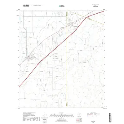
2019 Map of Lytle
USGS Topo · Published 2019About this map
Lytle and Natalia anchor this South Texas landscape where the coastal plains meet the water management systems of the Medina and Atascosa basins. The presence of the Natalia Canal illustrates the area's transition to irrigated agriculture, while the settlement of Coal Mine serves as a reminder of earlier industrial extraction near the Medina Co Atascosa Co line. The terrain is defined by the branching network of the Atascosa River, including the W Prong Atascosa River and N Prong Atascosa River, alongside smaller drainages like Fort Ewell Cr and Chacon Cr. Modern infrastructure is represented by the I-35 Access Rd, which parallels historic routes such as Old Pearsall Rd and Railroad St, tracing the corridor of movement between San Antonio and the Rio Grande Valley.
Find a feature on this map
129 named features on this map. Tap any name to fly to it.
Don’t see what you’re looking for? This feature index may not catch every label — zoom into the map to look around manually.
Map Details
Editions of this 2019 Lytle Map
This is the sole edition of this map. No revisions or reprints were ever made.
Other maps of this area

1942 · Natalia
USGS Topo · 1:62,500

1953 · Macdona
USGS Topo · 1:24,000

1954 · San Antonio
USGS Topo · 1:250,000

1957 · San Antonio
USGS Topo · 1:250,000

1958 · La Coste
USGS Topo · 1:24,000

1958 · Somerset
USGS Topo · 1:24,000

1964 · Ghost Hill
USGS Topo · 1:24,000

1964 · Castroville
USGS Topo · 1:24,000

1964 · Devine
USGS Topo · 1:24,000
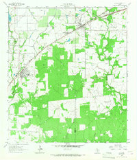
1964 · Lytle
USGS Topo · 1:24,000