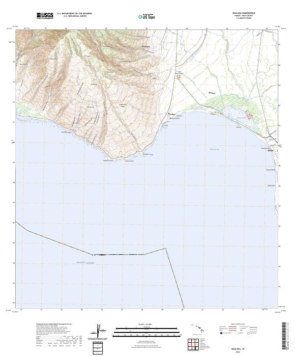
2024 Map of Maalaea
USGS Topo · Published 2024About this map
Keālia Pond National Wildlife Refuge dominates the low-lying coastal transition where the Pacific Ocean meets the central isthmus of Maui. This modern survey reveals a landscape defined by dramatic topographical shifts, from the steep ridges of Kaunohua Ridge and Kealaloloa Ridge down to the sea level wetlands of Keālia Pond. The settlement patterns of Kihei and Mā‘alaea show contemporary coastal development, while the upland areas remain characterized by a dense network of erosional features such as Ukumehame Gulch and Manawainui Gulch.
Find a feature on this map
59 named features on this map. Tap any name to fly to it.
Don’t see what you’re looking for? This feature index may not catch every label — zoom into the map to look around manually.
Map Details
Editions of this 2024 Maalaea Map
This is the sole edition of this map. No revisions or reprints were ever made.
Other maps of this area

1929 · Kahoolawe
USGS Topo · 1:62,500

1954 · Maui
USGS Topo · 1:250,000

1954 · Maalaea
USGS Topo · 1:24,000

1954 · Paia
USGS Topo · 1:24,000

1954 · Puu O Kali
USGS Topo · 1:24,000

1954 · Makena
USGS Topo · 1:24,000

1955 · Olowalu
USGS Topo · 1:24,000

1955 · Wailuku
USGS Topo · 1:24,000

1956 · Lahaina
USGS Topo · 1:24,000

1966 · Maui
USGS Topo · 1:250,000