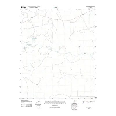
2010 Map of Mac Bain
USGS Topo · Published 2010About this map
Dutchman Creek and its many tributaries, including Spring Creek and Longs Branch, define the hydrology of this corner of Motley County. In a landscape primarily shaped by seasonal drainage patterns, the presence of Harold Campbell North Lake and Harold Campbell South Lake provides a significant water source in the northwestern quadrant. The small settlement of Mac Bain sits in the southern portion of the area, serving as a focal point in a territory characterized by open land and scattered ranch roads. The infrastructure is anchored by several routes, including FM 684 and the conjoined highway of 62 70. Terrain features such as Carter Draw and Wason Draw illustrate the subtle geographic contours and dry washes typical of the Texas Rolling Plains, offering a clear record of the region's physical geography at the beginning of the twenty-first century.
Find a feature on this map
12 named features on this map. Tap any name to fly to it.
Don’t see what you’re looking for? This feature index may not catch every label — zoom into the map to look around manually.
Map Details
Editions of this 2010 Mac Bain Map
This is the sole edition of this map. No revisions or reprints were ever made.
Other maps of this area

1954 · Lubbock
USGS Topo · 1:250,000

1954 · Plainview
USGS Topo · 1:250,000

1958 · Plainview
USGS Topo · 1:250,000

1965 · Wake
USGS Topo · 1:24,000

1966 · Matador
USGS Topo · 1:24,000

1967 · Dick Moore Canyon
USGS Topo · 1:24,000

1967 · Whiteflat
USGS Topo · 1:24,000

1968 · Mac Bain
USGS Topo · 1:24,000

1968 · Roaring Springs
USGS Topo · 1:24,000

1968 · Rustler Camp
USGS Topo · 1:24,000