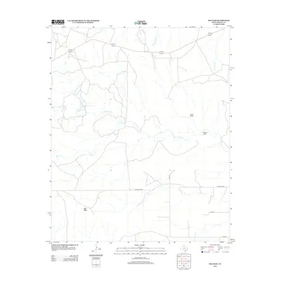
2012 Map of Mac Bain
USGS Topo · Published 2012About this map
The Mac Bain settlement and its surrounding ranchlands define this West Texas landscape in Motley County. The terrain is characterized by a network of seasonal watercourses and drainage features, most notably Dutchman Cr which winds through the center of the sheet, and the distinct topographic depressions of Carter Draw and Wason Draw to the east. Water management in this semi-arid environment is evidenced by the presence of Harold Campbell N Lake and Harold Campbell S Lake, providing essential reservoirs for local agricultural operations.
Find a feature on this map
13 named features on this map. Tap any name to fly to it.
Don’t see what you’re looking for? This feature index may not catch every label — zoom into the map to look around manually.
Map Details
Editions of this 2012 Mac Bain Map
This is the sole edition of this map. No revisions or reprints were ever made.
Other maps of this area

1954 · Lubbock
USGS Topo · 1:250,000

1954 · Plainview
USGS Topo · 1:250,000

1958 · Plainview
USGS Topo · 1:250,000

1965 · Wake
USGS Topo · 1:24,000

1966 · Matador
USGS Topo · 1:24,000

1967 · Dick Moore Canyon
USGS Topo · 1:24,000

1967 · Whiteflat
USGS Topo · 1:24,000

1968 · Mac Bain
USGS Topo · 1:24,000

1968 · Roaring Springs
USGS Topo · 1:24,000

1968 · Rustler Camp
USGS Topo · 1:24,000