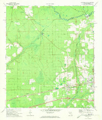
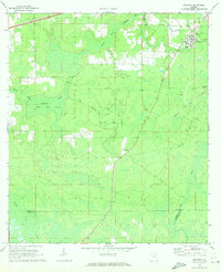
1972 Map of Macclenny West
USGS Topo · Published 1973About this map
Macclenny and Glen St Mary serve as the primary population centers in this Baker County landscape, situated along the Seaboard Coast Line railroad and the South Prong St Marys River. The area in the early 1970s shows a mix of established residential pockets and significant undeveloped marshlands, most notably the expansive Hells Bay to the southwest. The St Marys River forms a natural northern boundary, tracing the state line between Georgia and Florida. Local community life is anchored by landmarks such as Keller High Sch, Macedonia Ch, and Mt Zion Ch. Rural genealogy is well-supported by the presence of family-named sites like Turner Cem and the settlement of Margaretta, alongside the Woodlawn Cem near Macclenny. The terrain is defined by a network of waterways including Cedar Creek and Calkins Creek, reflecting the wet, low-lying character of the Floridian interior before extensive modern drainage or development changed the local hydrology.
Find a feature on this map
35 named features on this map. Tap any name to fly to it.
Don’t see what you’re looking for? This feature index may not catch every label — zoom into the map to look around manually.
Map Details
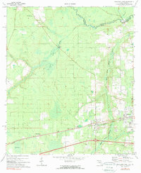
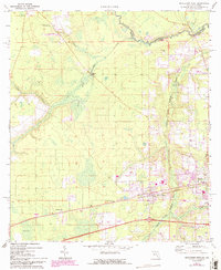
Editions of this 1972 Macclenny West Map
3 editions found
Other maps of this area

1917 · Macclenny
USGS Topo · 1:62,500

1918 · Lawtey
USGS Topo · 1:62,500

1918 · Macclenny
USGS Topo · 1:62,500

1954 · Valdosta
USGS Topo · 1:250,000

1958 · Valdosta
USGS Topo · 1:250,000

1959 · Valdosta
USGS Topo · 1:250,000

1963 · Sanderson South
USGS Topo · 1:24,000

1969 · Sanderson North
USGS Topo · 1:24,000
1969 · Taylor
USGS Topo · 1:24,000
1970 · Manning
USGS Topo · 1:24,000