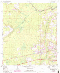
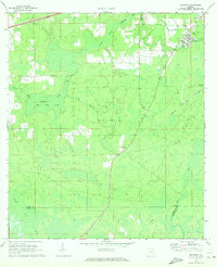
1972 Map of Macclenny West
USGS Topo · Published 1993About this map
The St Marys River winds along the northern boundary of this survey, defining the border between Georgia and Florida. This map captures a landscape transitioning from the traditional settlements of Glen St Mary and Margaretta toward the modern expansion of Macclenny. The prevalence of wetlands and intermittent streams, such as Cedar Creek and Turkey Creek, suggests a terrain shaped by the slow-draining geography of Baker County. In the southern reaches, the low-lying Helts Bay sits near the small rail-adjacent community of Margaretta. Genealogists may find particular interest in the dispersed rural landmarks, including Turner Cem and the Oak Grove Ch, while aviation enthusiasts can spot several isolated landing strips carved into the pine-covered topography of the early 1970s.
Find a feature on this map
30 named features on this map. Tap any name to fly to it.
Don’t see what you’re looking for? This feature index may not catch every label — zoom into the map to look around manually.
Map Details
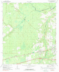
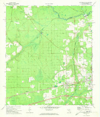
Editions of this 1972 Macclenny West Map
3 editions found
Other maps of this area

1917 · Macclenny
USGS Topo · 1:62,500

1918 · Lawtey
USGS Topo · 1:62,500

1918 · Macclenny
USGS Topo · 1:62,500

1954 · Valdosta
USGS Topo · 1:250,000

1958 · Valdosta
USGS Topo · 1:250,000

1959 · Valdosta
USGS Topo · 1:250,000

1963 · Sanderson South
USGS Topo · 1:24,000

1969 · Sanderson North
USGS Topo · 1:24,000
1969 · Taylor
USGS Topo · 1:24,000
1970 · Manning
USGS Topo · 1:24,000