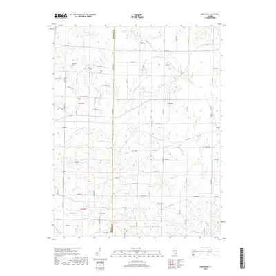
2018 Map of Macedonia
USGS Topo · Published 2018About this map
Macedonia stands as the primary settlement on this Hamilton and Franklin County borderland, situated where local routes converge north of Akin Cr. The landscape is defined by the winding course of the Middle Fork Big Muddy River and a dense network of country roads named for the families who settled the region, such as Kearney Rd, Robles Rd, and Fisher Ln.
Find a feature on this map
60 named features on this map. Tap any name to fly to it.
Don’t see what you’re looking for? This feature index may not catch every label — zoom into the map to look around manually.
Map Details
Editions of this 2018 Macedonia Map
This is the sole edition of this map. No revisions or reprints were ever made.
Other maps of this area

1908 · Galatia
USGS Topo · 1:62,500

1909 · West Frankfort
USGS Topo · 1:62,500

1938 · Galatia
USGS Topo · 1:62,500

1939 · Ina
USGS Topo · 1:62,500

1941 · West Frankfort
USGS Topo · 1:62,500

1942 · McLeansboro
USGS Topo · 1:62,500

1943 · Ina
USGS Topo · 1:62,500

1945 · McLeansboro
USGS Topo · 1:62,500

1949 · Paducah
USGS Topo · 1:250,000

1950 · Paducah
USGS Topo · 1:250,000