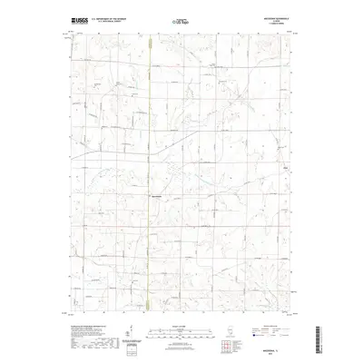
2021 Map of Macedonia
USGS Topo · Published 2021About this map
The Middle Fork Big Muddy River meanders across this rural landscape along the border of Franklin and Hamilton counties, anchoring a network of small creeks and farm-to-market roads. This region of Southern Illinois centers on the settlement of Macedonia, with the community of Flint appearing at the eastern margin. The map is a significant resource for genealogical research, documenting numerous family and community burial grounds including Walnut Grove Cem, Mount Nebo Cem, and the Jacksonville Cem.
Find a feature on this map
83 named features on this map. Tap any name to fly to it.
Don’t see what you’re looking for? This feature index may not catch every label — zoom into the map to look around manually.
Map Details
Editions of this 2021 Macedonia Map
This is the sole edition of this map. No revisions or reprints were ever made.
Other maps of this area

1908 · Galatia
USGS Topo · 1:62,500

1909 · West Frankfort
USGS Topo · 1:62,500

1938 · Galatia
USGS Topo · 1:62,500

1939 · Ina
USGS Topo · 1:62,500

1941 · West Frankfort
USGS Topo · 1:62,500

1942 · McLeansboro
USGS Topo · 1:62,500

1943 · Ina
USGS Topo · 1:62,500

1945 · McLeansboro
USGS Topo · 1:62,500

1949 · Paducah
USGS Topo · 1:250,000

1950 · Paducah
USGS Topo · 1:250,000