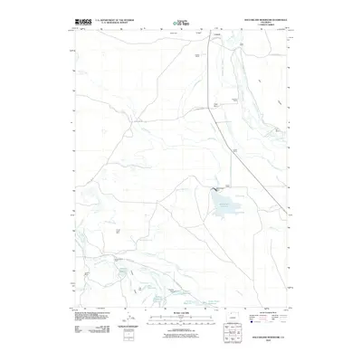
2010 Map of MacFarlane Reservoir
USGS Topo · Published 2010About this map
The high-country ranching settlement of Larand serves as the focal point for this landscape, where the Illinois River and Soap Creek provide the lifeblood for a sophisticated network of irrigation. The sheer density of named ditches, such as Oklahoma Ditch Number 1, Midland Ditch, and Everhard and Baldwin Ditch, reveals a history of water management essential for sustaining cattle operations like the Allard Ranch, Hackley Ranch, and Anderson Ranch.
Find a feature on this map
55 named features on this map. Tap any name to fly to it.
Don’t see what you’re looking for? This feature index may not catch every label — zoom into the map to look around manually.
Map Details
Editions of this 2010 MacFarlane Reservoir Map
This is the sole edition of this map. No revisions or reprints were ever made.
Other maps of this area

1954 · Craig
USGS Topo · 1:250,000

1955 · Delaney Butte
USGS Topo · 1:24,000

1955 · Coalmont
USGS Topo · 1:24,000

1955 · Owl Ridge
USGS Topo · 1:24,000

1955 · Gould NW
USGS Topo · 1:24,000

1955 · Walden
USGS Topo · 1:24,000

1955 · Mac Farlane Reservoir
USGS Topo · 1:24,000

1955 · Walden
USGS Topo · 1:62,500

1956 · Spicer Peak
USGS Topo · 1:24,000

1956 · Buffalo Peak
USGS Topo · 1:24,000