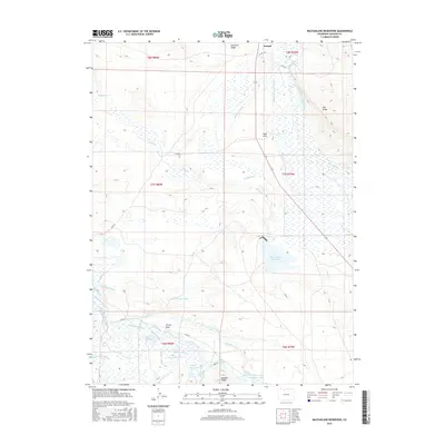
2016 Map of MacFarlane Reservoir
USGS Topo · Published 2016About this map
Larand sits near the northern boundary of this high-altitude landscape, where an intricate network of irrigation ditches and reservoirs defines the agricultural viability of the North Park basin. The map reveals an engineered water system essential for cattle ranching, including the Oklahoma Ditch Number 1, Oklahoma Number 2 Ditch, and Everhard and Baldwin Ditch that feed into the Illinois River drainage. Notable storage sites like Mac Farlane Reservoir and Addison Reservoir are situated among distinct topographical rises such as Peterson Ridge and Owl Ridge. This survey provides a precise look at the hydrology of Jackson County, capturing the family-named landmarks and water-rights infrastructure like Clayton Ditch and Poled Angus Ditch that have shaped the region's land use for generations.
Find a feature on this map
49 named features on this map. Tap any name to fly to it.
Don’t see what you’re looking for? This feature index may not catch every label — zoom into the map to look around manually.
Map Details
Editions of this 2016 MacFarlane Reservoir Map
This is the sole edition of this map. No revisions or reprints were ever made.
Other maps of this area

1954 · Craig
USGS Topo · 1:250,000

1955 · Delaney Butte
USGS Topo · 1:24,000

1955 · Coalmont
USGS Topo · 1:24,000

1955 · Owl Ridge
USGS Topo · 1:24,000

1955 · Gould NW
USGS Topo · 1:24,000

1955 · Walden
USGS Topo · 1:24,000

1955 · Mac Farlane Reservoir
USGS Topo · 1:24,000

1955 · Walden
USGS Topo · 1:62,500

1956 · Spicer Peak
USGS Topo · 1:24,000

1956 · Buffalo Peak
USGS Topo · 1:24,000