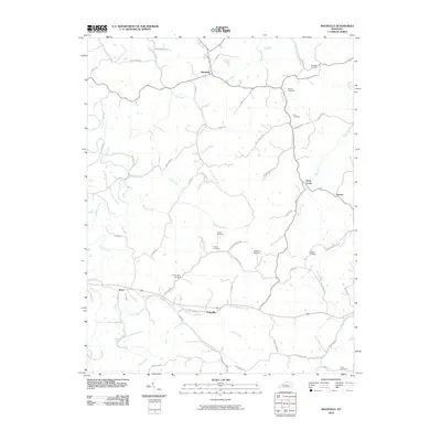
2010 Map of Mackville
USGS Topo · Published 2010About this map
Mackville serves as the primary hub of this Central Kentucky landscape, where the headwaters of numerous creeks carve a complex drainage pattern into the terrain. The community of Pottsville and the small settlement of Texas are connected by a network of rural routes, including Pottsville Rd and Texas Rd. The map is particularly valuable for genealogical research, documenting numerous family-named burial sites such as McMullin Cemetery, Holderman Cemetery, and Cocanougher Cemetery that dot the countryside.
Find a feature on this map
62 named features on this map. Tap any name to fly to it.
Don’t see what you’re looking for? This feature index may not catch every label — zoom into the map to look around manually.
Map Details
Editions of this 2010 Mackville Map
This is the sole edition of this map. No revisions or reprints were ever made.
Other maps of this area

1905 · Harrodsburg
USGS Topo · 1:125,000

1952 · Perryville
USGS Topo · 1:24,000

1952 · Cornishville
USGS Topo · 1:24,000

1952 · Parksville
USGS Topo · 1:24,000

1953 · Mackville
USGS Topo · 1:24,000

1953 · Brush Grove
USGS Topo · 1:24,000

1953 · Gravel Switch
USGS Topo · 1:24,000

1953 · Lebanon East
USGS Topo · 1:24,000

1953 · Cardwell
USGS Topo · 1:24,000

1953 · Springfield
USGS Topo · 1:24,000