
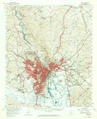
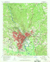
1956 Map of Macon
USGS Topo · Published 1959About this map
The Ocmulgee River serves as the central artery for this mid-century portrait of Central Georgia, where the industrial and educational core of Macon meets a landscape deeply rooted in its Mississippian and early American past. The map preserves the complex layout of the city during a period of significant post-war expansion, showing a dense network of educational institutions such as Mercer University and Wesleyan College, alongside specialized facilities like the Georgia Academy for the Blind.
Find a feature on this map
111 named features on this map. Tap any name to fly to it.
Don’t see what you’re looking for? This feature index may not catch every label — zoom into the map to look around manually.
Map Details
Editions of this 1956 Macon Map
3 editions found
Other maps of this area

1951 · Forsyth
USGS Topo · 1:62,500

1953 · Athens
USGS Topo · 1:250,000

1956 · Fort Valley
USGS Topo · 1:62,500

1956 · Bolingbroke
USGS Topo · 1:62,500

1956 · Gordon
USGS Topo · 1:62,500

1956 · Warner Robins
USGS Topo · 1:62,500

1956 · Jeffersonville
USGS Topo · 1:62,500

1956 · Macon West
USGS Topo · 1:24,000

1956 · Macon East
USGS Topo · 1:24,000

1957 · Macon
USGS Topo · 1:250,000