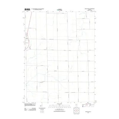
2012 Map of Macon East
USGS Topo · Published 2012About this map
Macon sits at the western edge of this central Illinois prairie landscape, where the town's street grid meets an expansive network of rural section lines. The terrain is defined by the winding paths of Finley Cr and Long Grove Cr, which cut through the agricultural blocks alongside smaller tributaries like Willow Br and Sand Cr. This 2012 survey illustrates the modern layout of the region's transport infrastructure, from the residential clusters along Cardinal Dr and Robin Dr to the specialized aviation footprint of Hilvety Airport south of town. The map provides a clear look at the rural property framework, dominated by family-named routes such as Walmsley Rd, Cornthwaite Rd, and Kraft Rd that connect the farmsteads of Macon County.
Find a feature on this map
55 named features on this map. Tap any name to fly to it.
Don’t see what you’re looking for? This feature index may not catch every label — zoom into the map to look around manually.
Map Details
Editions of this 2012 Macon East Map
This is the sole edition of this map. No revisions or reprints were ever made.
Other maps of this area

1929 · Decatur
USGS Topo · 1:62,500

1933 · Decatur
USGS Topo · 1:62,500

1949 · Dalton City
USGS Topo · 1:62,500

1952 · Assumption
USGS Topo · 1:62,500

1954 · Niantic
USGS Topo · 1:62,500

1958 · Decatur
USGS Topo · 1:250,000

1961 · Decatur
USGS Topo · 1:250,000

1967 · Long Creek
USGS Topo · 1:24,000

1967 · Decatur
USGS Topo · 1:24,000

1982 · Harristown
USGS Topo · 1:24,000