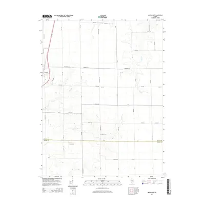
2015 Map of Macon East
USGS Topo · Published 2015About this map
The settlement of Macon anchors the western edge of this central Illinois landscape, where a grid of rural routes like Corinthwaite Rd and Riley Rd segments the agricultural plains. The terrain is subtly shaped by the winding paths of several waterways, including Finley Creek and Long Grove Creek, which cut gentle depressions through the farmland. In the southern portion of the quadrangle, the Macon Co / Shelby Co line marks a significant administrative boundary near the Long Grove Cem. A notable localized landmark is the Hilvety Airport, reflecting the region's reliance on small-scale aviation for agricultural or private use. Family-named roads such as Gordon Rd and Hopewell Rd suggest the enduring presence of local heritage and longtime landownership across these townships.
Find a feature on this map
50 named features on this map. Tap any name to fly to it.
Don’t see what you’re looking for? This feature index may not catch every label — zoom into the map to look around manually.
Map Details
Editions of this 2015 Macon East Map
This is the sole edition of this map. No revisions or reprints were ever made.
Other maps of this area

1929 · Decatur
USGS Topo · 1:62,500

1933 · Decatur
USGS Topo · 1:62,500

1949 · Dalton City
USGS Topo · 1:62,500

1952 · Assumption
USGS Topo · 1:62,500

1954 · Niantic
USGS Topo · 1:62,500

1958 · Decatur
USGS Topo · 1:250,000

1961 · Decatur
USGS Topo · 1:250,000

1967 · Long Creek
USGS Topo · 1:24,000

1967 · Decatur
USGS Topo · 1:24,000

1982 · Harristown
USGS Topo · 1:24,000