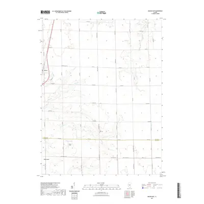
2021 Map of Macon East
USGS Topo · Published 2021About this map
Macon and Moweaqua anchor this central Illinois landscape, where the agricultural grid meets the winding drainages of the Sangamon River watershed. The terrain is defined by a series of south-flowing waterways, including Sand Cr and Finley Cr, which break the geometric regularity of the section lines. This rural infrastructure is deeply tied to family names and local history, evident in the network of roads such as Cornthwaite Rd and Walmsley Rd that connect outlying farms to the town centers.
Find a feature on this map
46 named features on this map. Tap any name to fly to it.
Don’t see what you’re looking for? This feature index may not catch every label — zoom into the map to look around manually.
Map Details
Editions of this 2021 Macon East Map
This is the sole edition of this map. No revisions or reprints were ever made.
Other maps of this area

1929 · Decatur
USGS Topo · 1:62,500

1933 · Decatur
USGS Topo · 1:62,500

1949 · Dalton City
USGS Topo · 1:62,500

1952 · Assumption
USGS Topo · 1:62,500

1954 · Niantic
USGS Topo · 1:62,500

1958 · Decatur
USGS Topo · 1:250,000

1961 · Decatur
USGS Topo · 1:250,000

1967 · Long Creek
USGS Topo · 1:24,000

1967 · Decatur
USGS Topo · 1:24,000

1982 · Harristown
USGS Topo · 1:24,000