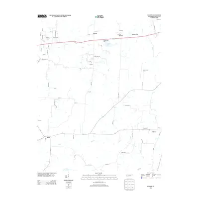
2013 Map of Macon
USGS Topo · Published 2013About this map
Macon and Williston anchor the southern portion of this Fayette County landscape, where the agricultural character of West Tennessee meets modern regional infrastructure. The geography is defined by a dense network of tributaries including Shaws Cr and Cypress Cr, which thread through the rural terrain between small settlements like Warren and Powers. This 2013 survey illustrates the area's transition toward more residential development, particularly near Oakland where suburban street names such as Hickory Grove Loop and Meadow Glen Dr appear alongside older farm roads. The central portion of the map is dominated by the Fayette County Airport, while local landmarks like the Glengary Lake Dam and the expansive Double-W Ranch Lake point to the area's mix of private land use and essential public services.
Find a feature on this map
75 named features on this map. Tap any name to fly to it.
Don’t see what you’re looking for? This feature index may not catch every label — zoom into the map to look around manually.
Map Details
Editions of this 2013 Macon Map
This is the sole edition of this map. No revisions or reprints were ever made.
Other maps of this area

1943 · Collierville
USGS Topo · 1:62,500

1949 · Moscow
USGS Topo · 1:62,500

1952 · Lambert
USGS Topo · 1:24,000

1952 · Laconia
USGS Topo · 1:24,000

1952 · Stanton
USGS Topo · 1:62,500

1953 · Collierville
USGS Topo · 1:50,000

1954 · Mason
USGS Topo · 1:62,500

1956 · Blytheville
USGS Topo · 1:250,000

1959 · Blytheville
USGS Topo · 1:250,000

1965 · Rossville
USGS Topo · 1:24,000