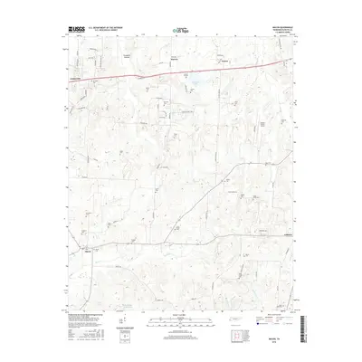
2016 Map of Macon
USGS Topo · Published 2016About this map
The low-lying wetlands of Treadville Bottom and the winding course of Bluff Cr characterize this portion of Fayette County. Small rural communities like Macon and Warren serve as anchors for a landscape heavily marked by family and community history. The concentration of burial sites, including Saint Pauls Cem, Jones Chapel Cem, and Lewis Parrot Cem, reflects a deep-rooted pattern of settlement along the local ridges and creek beds. In the northwest, Oakland appears as a growing hub, while the southern reaches near Williston retain a more pastoral character. Water remains a defining feature of the topography, from the larger Glengary Lake to the many drainages like Shaws Cr and Harris Cr that cut through the undulating terrain of this West Tennessee region.
Find a feature on this map
78 named features on this map. Tap any name to fly to it.
Don’t see what you’re looking for? This feature index may not catch every label — zoom into the map to look around manually.
Map Details
Editions of this 2016 Macon Map
This is the sole edition of this map. No revisions or reprints were ever made.
Other maps of this area

1943 · Collierville
USGS Topo · 1:62,500

1949 · Moscow
USGS Topo · 1:62,500

1952 · Lambert
USGS Topo · 1:24,000

1952 · Laconia
USGS Topo · 1:24,000

1952 · Stanton
USGS Topo · 1:62,500

1953 · Collierville
USGS Topo · 1:50,000

1954 · Mason
USGS Topo · 1:62,500

1956 · Blytheville
USGS Topo · 1:250,000

1959 · Blytheville
USGS Topo · 1:250,000

1965 · Rossville
USGS Topo · 1:24,000