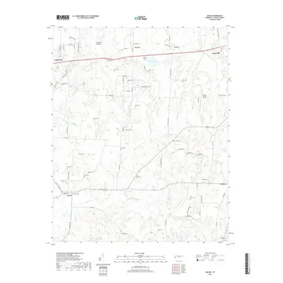
2019 Map of Macon
USGS Topo · Published 2019About this map
Macon and Williston sit at the southern edge of this landscape, where the rural character of Fayette County remains defined by a dense network of family cemeteries and winding creek bottoms. In the north, the corridor between Oakland and Somerville shows the residential expansion of West Tennessee, though much of the land remains anchored by landmarks like Treadville Bottom and Glengary Lake.
Find a feature on this map
84 named features on this map. Tap any name to fly to it.
Don’t see what you’re looking for? This feature index may not catch every label — zoom into the map to look around manually.
Map Details
Editions of this 2019 Macon Map
This is the sole edition of this map. No revisions or reprints were ever made.
Other maps of this area

1943 · Collierville
USGS Topo · 1:62,500

1949 · Moscow
USGS Topo · 1:62,500

1952 · Lambert
USGS Topo · 1:24,000

1952 · Laconia
USGS Topo · 1:24,000

1952 · Stanton
USGS Topo · 1:62,500

1953 · Collierville
USGS Topo · 1:50,000

1954 · Mason
USGS Topo · 1:62,500

1956 · Blytheville
USGS Topo · 1:250,000

1959 · Blytheville
USGS Topo · 1:250,000

1965 · Rossville
USGS Topo · 1:24,000