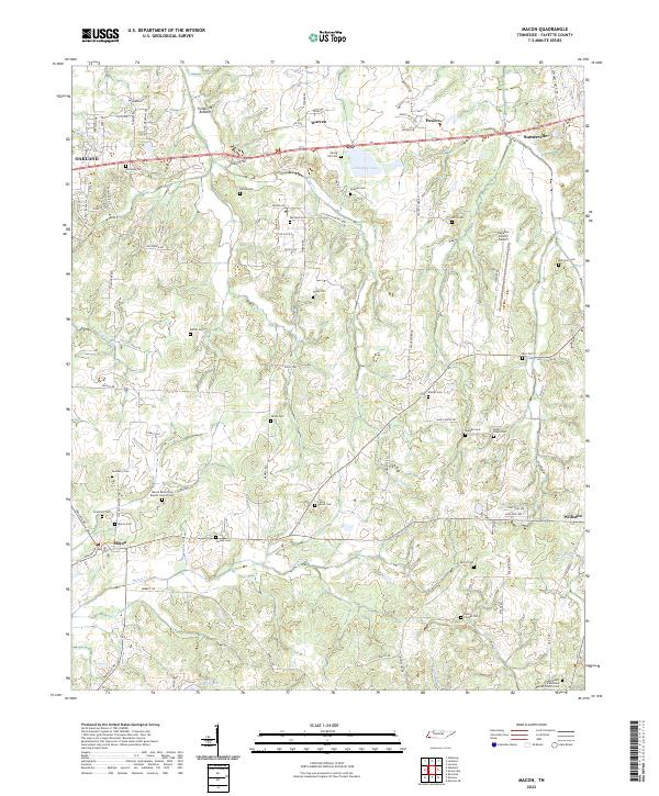
2022 Map of Macon
USGS Topo · Published 2022About this map
Macon and Somerville anchor this Fayette County landscape, where the agricultural character of the region is traced through numerous family cemeteries and country churches. The terrain is defined by the lowlands of Treadville Bottom and the winding course of Shaws Cr, which flows toward the southwest. The presence of significant institutional sites, such as the Macon Missionary Baptist Church and Saint Pauls Missionary Baptist Church, underscores the long-standing community centers that have organized rural life here for generations.
Find a feature on this map
93 named features on this map. Tap any name to fly to it.
Don’t see what you’re looking for? This feature index may not catch every label — zoom into the map to look around manually.
Map Details
Editions of this 2022 Macon Map
This is the sole edition of this map. No revisions or reprints were ever made.
Other maps of this area

1943 · Collierville
USGS Topo · 1:62,500

1949 · Moscow
USGS Topo · 1:62,500

1952 · Lambert
USGS Topo · 1:24,000

1952 · Laconia
USGS Topo · 1:24,000

1952 · Stanton
USGS Topo · 1:62,500

1953 · Collierville
USGS Topo · 1:50,000

1954 · Mason
USGS Topo · 1:62,500

1956 · Blytheville
USGS Topo · 1:250,000

1959 · Blytheville
USGS Topo · 1:250,000

1965 · Rossville
USGS Topo · 1:24,000