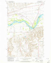
1972 Map of Macon
USGS Topo · Published 1975About this map
The Missouri River meanders across this northern Montana landscape, marking the boundary between the Fort Peck Indian Reservation and the surrounding terrain of McCone and Roosevelt Counties. At this point in the early 1970s, the river is flanked by the Burlington Northern railroad and the small settlement of Macon, which is characterized by its rail-side grain bins and proximity to the Wolf Point International Airport.
Find a feature on this map
16 named features on this map. Tap any name to fly to it.
Don’t see what you’re looking for? This feature index may not catch every label — zoom into the map to look around manually.
Map Details
Editions of this 1972 Macon Map
This is the sole edition of this map. No revisions or reprints were ever made.
Other maps of this area
1912 · Chelsea
USGS Topo · 1:62,500
1916 · Wolf Point
USGS Topo · 1:62,500
1954 · Glendive
USGS Topo · 1:250,000
1954 · Wolf Point
USGS Topo · 1:250,000
1957 · Glendive
USGS Topo · 1:250,000
1958 · Wolf Point
USGS Topo · 1:250,000
1958 · Glendive
USGS Topo · 1:250,000
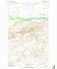
1972 · Chelsea SW
USGS Topo · 1:24,000
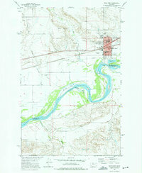
1972 · Wolf Point
USGS Topo · 1:24,000
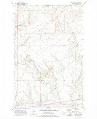
1972 · Chelsea NW
USGS Topo · 1:24,000