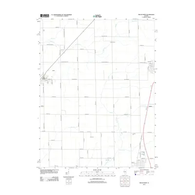
2012 Map of Macon West
USGS Topo · Published 2012About this map
Blue Mound stands as a focal point in this central Illinois landscape, where a dense network of country roads connects scattered farmsteads and rural landmarks. The survey is particularly significant for genealogists, as it meticulously identifies numerous burial grounds such as the Independent Order of Oddfellows Cem and Traughber Cem, reflecting the deep-rooted family history of the region. The drainage patterns are defined by several watercourses, including Mosquito Cr and Long Grove Cr, which meander through the agricultural plots. Small infrastructure points like Cribbet Airport and the settlement at Walker illustrate the community's local transport and aviation history. The grid-like road system, featuring routes like S Lincoln Memorial Pkwy and Rosedale Rd, underscores the organized land division typical of the Illinois prairie.
Find a feature on this map
71 named features on this map. Tap any name to fly to it.
Don’t see what you’re looking for? This feature index may not catch every label — zoom into the map to look around manually.
Map Details
Editions of this 2012 Macon West Map
This is the sole edition of this map. No revisions or reprints were ever made.
Other maps of this area

1929 · Decatur
USGS Topo · 1:62,500

1933 · Decatur
USGS Topo · 1:62,500

1949 · Dalton City
USGS Topo · 1:62,500

1952 · Assumption
USGS Topo · 1:62,500

1954 · Niantic
USGS Topo · 1:62,500

1958 · Decatur
USGS Topo · 1:250,000

1961 · Decatur
USGS Topo · 1:250,000

1967 · Decatur
USGS Topo · 1:24,000

1974 · Willeys
USGS Topo · 1:24,000

1982 · Harristown
USGS Topo · 1:24,000