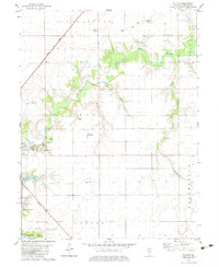
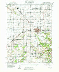
1974 Map of Willeys
USGS Topo · Published 1991About this map
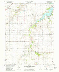
Flat Branch meanders through the central Christian County landscape, defining the agricultural and transit patterns of this Illinois prairie region during the mid-1970s. The northern reaches are anchored by the settlement of Old Stonington, while the small community of Willeys sits at a critical junction where the Norfolk and Western railroad cuts diagonally across the township lines. This intersection of rail and water, including local tributaries like Spring Creek and Lin Branch, illustrates the historic reliance on both natural drainage and industrial rail corridors for the area's development. To the southwest, the outskirts of Taylorville appear alongside the Baltimore and Ohio tracks, showing the expansion of the county seat toward the rural prairie. The map provides a clear view of the rural infrastructure, from the small creek crossings of Brushy Branch to the precisely surveyed section lines that organize the farmland.
Find a feature on this map
9 named features on this map. Tap any name to fly to it.
Don’t see what you’re looking for? This feature index may not catch every label — zoom into the map to look around manually.
Map Details
Editions of this 1974 Willeys Map
This is the sole edition of this map. No revisions or reprints were ever made.
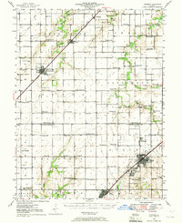
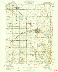
Other maps of this area
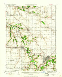
1923 · Taylorville
USGS Topo · 1:62,500
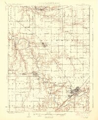
1925 · Taylorville
USGS Topo · 1:62,500
1946 · Nokomis
USGS Topo · 1:62,500
1947 · Pana
USGS Topo · 1:62,500
1949 · Nokomis
USGS Topo · 1:62,500
1949 · Pana
USGS Topo · 1:62,500
1952 · Assumption
USGS Topo · 1:62,500

1958 · Decatur
USGS Topo · 1:250,000

1961 · Decatur
USGS Topo · 1:250,000
1979 · Clarksdale
USGS Topo · 1:24,000